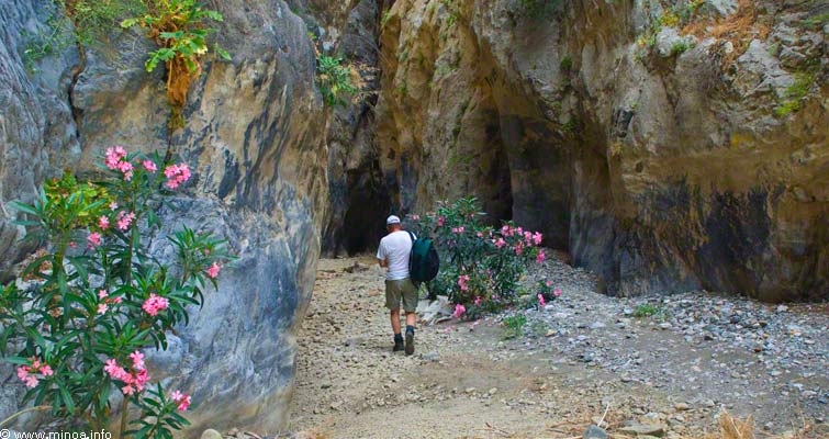
 Sarakina, One of Crete’s Most Beautiful and Rugged Gorges
by Minoa.info / Juhani
Sarakina Gorge is located six kilometres north of Mirtos Village. Mirtos is a small village on the southern coast of Crete, about 15 km west of Ierapetra. Getting through the gorge has been made easier by structures constructed during early 2009.
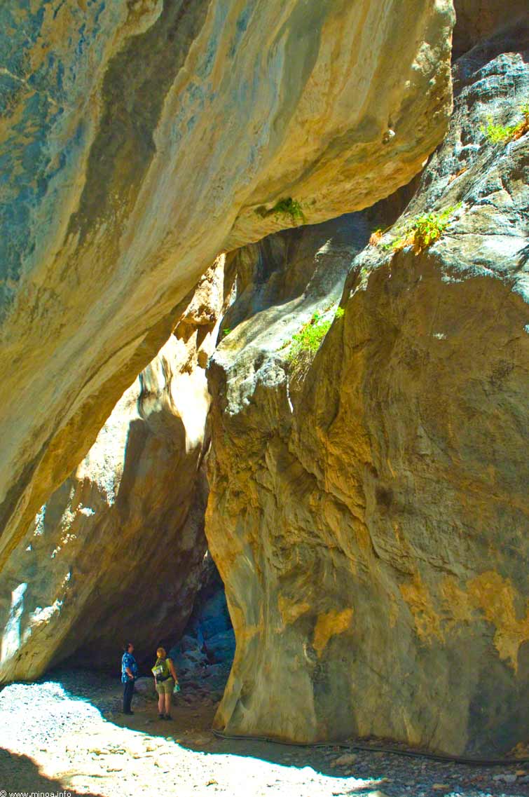
The short climb to the gorge is along a stony stairway to the top of a water channel, from which you will be able to get into the gorge. The rocky surfaces of the gorge have beautiful colors especially in the beginning, where tall cliffs almost conceal the view up to the sky. The impression is such as walking in a stone vault. The beautiful rocky surface is beautiful and forms versatile shapes over the rocky riverbed. In the beginning of the gorge there is tunnel-like section about a hundred meters long.
See the panorama photo.
See the panorama photo.
The most difficult section of the gorge is no challenge for sporty hikers, but for some the places which require a good balance and some climbing might be too difficult to pass. In this place you climb under a boulder stuck with rocks using your hands and a rope as assistance.
In some ascents foot size holes have been carved into the rock in stairway kind of fashion in order to help the climbing. The holes are visible in the direction shown by the yellow arrow.
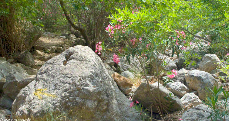
The end of the gorge is green and verdant. There is a brook that follows the trail. The thick plantation accompanied by loud birdsong is worth seeing and experiencing. At the end of the trail there is a resting place and a gravel road. From here you head pass the trees in the picture curving right uphill where you reach an asphalt road. At the end of the gravel road is a roofed resting place with an awesome view. In the picture you can see the Males village by the mountains, which is famous for its good food.
The Difficultness of the gorge
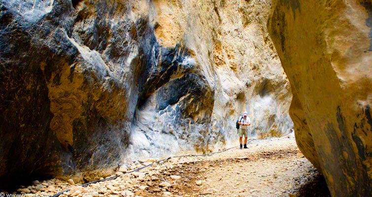
The gorge is short, medium difficult and requiring some experience from hiking and climbing, so it is not suitable for anyone suffering from fear of heights or vertigo. The very beginning of the gorge has a stony stairway (picture above) and a narrow bridge which is suitable for anyone. The hiking time to the upper part of the gorge is 1-1.5 hours. The return trip downward in the gorge is slower than the descent. If you wish to climb to the road at the end of the gorge you can walk along a nice asphalted serpentine road back to the starting point in 1-1.5 hours. There is a gravel road from the gorge to the road and a resting place just before reaching the road. The whole hike takes about 3 hours. The beginning is easy, but turns more difficult after a few hundred meters requiring climbing over 2-3 meter tall rocks and boulders. In some places foot size holes have been carved into the rocks, and a few times you need to use your knees in order to reach the upper level of a rock or a boulder which might be uncomfortable for some. The gorge turns quite easy in the end, a sandy trail which follows the riverbed.
…
…

…
Getting to Sarakinas
When heading from Mirtos to Heraklion on the main road there is a crossroad after a few hundred meters with the sign “Sarakinas Gorge” to the right. The sign is not visible when coming from the other direction. You can get to the Mythi village from the same junction. When reaching Mythi there is a T-junction with s sing to the right again. Continue forward down from the village, and you reach a sign now to the left to the gorge. There is a parking place by the large water pumping facility. There is a 1000 seat tavern in the area but it is only open by reservation.
…
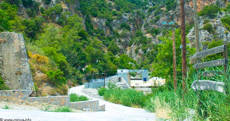
The starting point of Sarakina gorge. The gorge can be seen behind the buildings.
Additional information:
…

The starting point of Sarakina gorge. The gorge can be seen behind the buildings.

Additional information:
Google Earth map of the Sarakina gorge.

