 Samaria, The Longest and Deepest Gorge in Europe
by Minoa.info / Juhani
Passing through Samaria Gorge is essentially an experience, illustrated wonderfully by the breathtakingly high vertical rocks, “Iron Gates”, which are just one of many highlights during the Samaria hike. Once you get there, you are surprised by its massive size, then by its lush,aged forests, and finally by many remarkable details. And it is only after hiking through the entire gorge that the real experience hits you on both mental and physical levels.

…
Samaria Gorge briefly:
– The hike through the gorge requires 30000-50000 steps
– The first descent of 1.5 hours tests your legs and offers the last point of return up the hill and
to the local bus
to the local bus
– The river (brook) will be crossed 42 times
– The hiking speed is about 3 km/hrs if you hike with no major pauses
– Best season to hike is in May-June and August-September due reasonable daily temperatures
– The area is protected and you may not leave the marked route
– You may get lost, if you leave the marked route
– Hiking shoes are best for the demands of the hike, preferably used ones as brand new shoes may
give your feet nasty abrasions.
give your feet nasty abrasions.
– Good sneakers are also suitable
– Sandals are not recommended (the guides may prohibit you to enter the gorge with sandals)
unless they are specifically designed for hiking
unless they are specifically designed for hiking
– You need a bottle of water and a head gear and some food with you.
There is water available at resting points
There is water available at resting points
…
During the winter Samaria is cold and wet. For example during late February in 2009 the temperatures varied from -4 to +3 degrees Celsius. The relative humidity is often from 70 to 95%. Snowfall is usual in the mountains and the peak of the Gingilos seen from Xiloskales is covered with snow almost all-year around. The roads to Omalos have to be cleared of snow during winter. The Samarian gorge gets enough of water during winter, which explains its verdant nature during the summertime. Porous rocky surfaces and soil absorb and contain a lot of water into itself.
…
……

……
The Gorge opens from the boarder of the Omalos Plateau as massive, impressive and raising huge expectations. “Xyloskalos”, wooden stairways, descent down the hillside. This one hour continuous descent downwards is the first (and last) test to the hiker about his/her ability to pass the entire gorge. After this the point of no return has been passed. There is no point in entering the gorge without any experience of longer walks or hikes, but a usual condition and health is enough for passing the gorge. If you get hurt or get too tired to walk, you can get out of the gorge only by donkey. The helicopter landing place is at Samaria village.
Falling rocks have been well accounted for by metal wire structures in the early part of the hike. In few places there are signs which suggest walking fast under rocky cliffs in order to minimize the risk of being hit by falling rocks. You want to pay attention for any goats above you, as the goats may cause rocks to fall towards you unexpectedly.
…
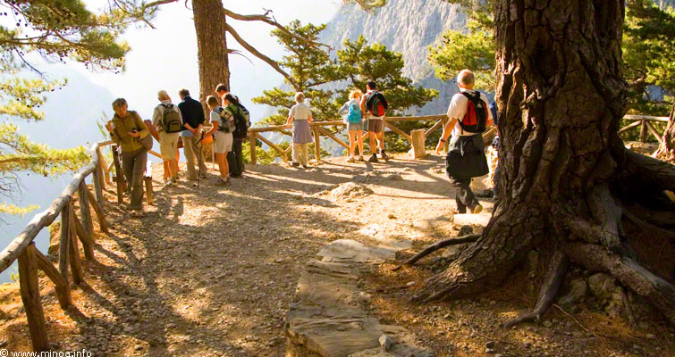
In many places the views are breathtakingly beautiful and the proportions of the gorge are nicely illustrated in strong contrasts.
In many places the views are breathtakingly beautiful and the proportions of the gorge are nicely illustrated in strong contrasts.
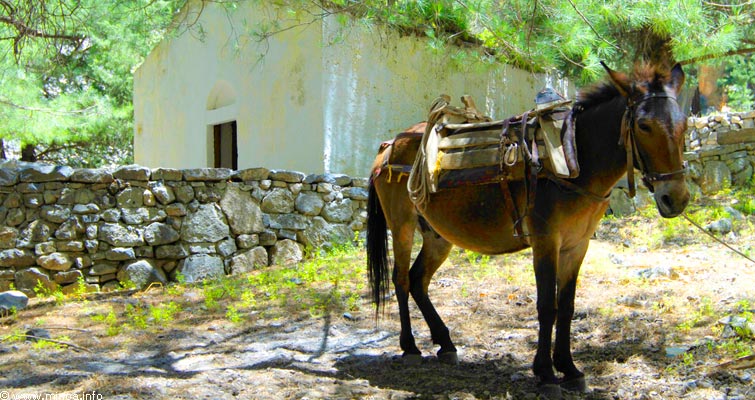
The donkeys and the personnel taking care of the gorge are the only service available in the gorge and only rescue for anyone with an injury or other serious problems. There is a helicopter field in Samaria village for emergency situations.
…
…

…
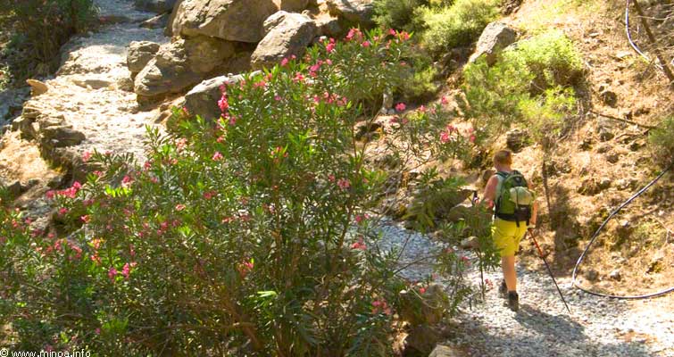
It doesn’t really get any more difficult in the Samarian gorge than what is seen in the picture. You need to pay attention to your footing all the time, and if you wish to look around, step away from the trail and let others pass you while you enjoy the view.
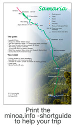
Agios Nikolaos is the first real resting place after the descent to the gorge. You can refill you water bottle here. There have been two smaller places with water and toilets before this, which you can see from the map below.
Samaria has been a protected area for a long time, so the nature is in natural condition throughout the gorge.
…
…
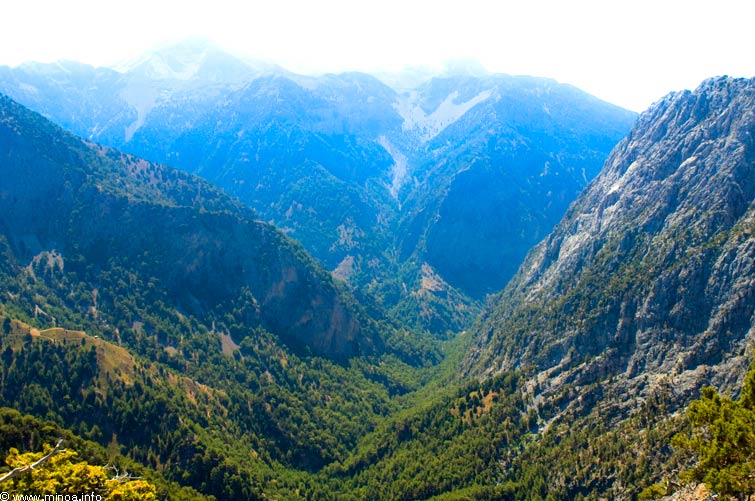 Samaria gorge photographed above the starting point Xiloskale
The river on the bottom of the gorge diminishes after the heavy melting waters of spring dry down, and the small remaining brook disappears at places into the rocks, but can be seen in its crystal clear form especially at the end of the gorge.
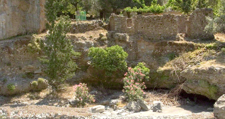
Thick forests are surprisingly large along the sides of the gorge. In the past Samaria was a wood producing area, and the trees were sawed with the energy of the flowing river water.…
…
 Samaria gorge photographed above the starting point Xiloskale
…
j..
You should check the boat schedule from your guide, in order to catch your bus from Chora Sfakionis. If you print the Short Guide with you, you can follow the timetable easier to get the right boat. The boat trip from Agia Roumeli to Chora Sfakion is one hour, and there is a stop at Loutro village on the way.
The timetable for Agia Roumeli – Chora Sfakion boats are found here.
There are endless details of nature along the route through the gorge. There is a lot to see in the Samaria village too, but mostly people just want to rest there. You shouldn’t rest too long however, as tired muscles may easily become jammed if you stop for too long.
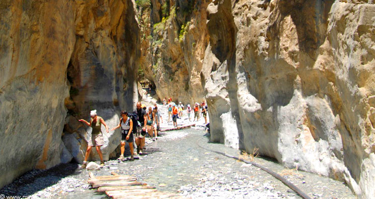
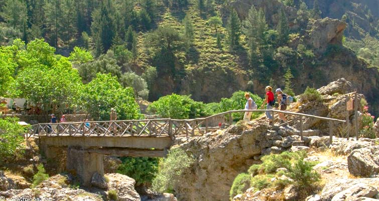
Crossing over water is quite easy during the hike, which is nice as you have to cross the river 42 times.
The water is crystal clear and cold, and gives some relief in hotter places. Of course t
here is also a helicopter field in Samaria villages for emergency situations.The Iron Gates are a breathtaking experience. See the Panoramic image. The height of the water during spring floods can been seen on the rocky surface of the narrow gorge, as you can see in this panoramic view.
A lot of water flows here during the spring, and the Samaria gorge is closed. As late as in May high winds may also cause the gorge to be closed and hikes to be cancelled.
…

…
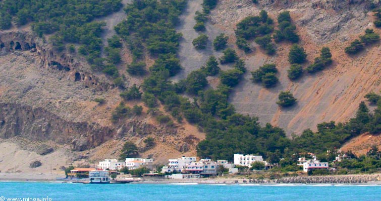
The hike of the Samaria Gorge ends in the Agia Roumeli village, from which the hikers are transported by boat to either Chora Sfakion or Paleochora depending on the starting point. Those who head to the Samaria Gorge from the north coast are brought to Chora Sfakion by boat and further by bus onward to the starting point of the gorge trip.
The hike of the Samaria Gorge ends in the Agia Roumeli village, from which the hikers are transported by boat to either Chora Sfakion or Paleochora depending on the starting point. Those who head to the Samaria Gorge from the north coast are brought to Chora Sfakion by boat and further by bus onward to the starting point of the gorge trip.
The starting point is at over 1000 meter altitude, so the temperature up there is always lower than at sea level (see the info in Additional information). When walking through the gorge the air temperature rises constantly and turns hot in the end as the sun rises directly from the above.
Hourly temperatures in Xiloskales during 24 hours in July
Google Earth map from Samaria gorge
Additional information
The timetable for Agia Roumeli – Chora Sfakion boats.Hourly temperatures in Xiloskales during 24 hours in July
Google Earth map from Samaria gorge
Printable Samaria Short Guide
