The Gorge of Hohlakies (Chochlakies)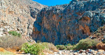
by Minoa.info / Juhani
Updated 30.03.2014
Hohlakies is the most easterly of the Cretan gorges. It is not as well known than its neighbour gorge, Zakros, which is located 10 kilometres south from Hohlakies. The starting point of the Hohlakies gorge is in the Hohlakies village (in the road signs the village’s name is Chochlakies), about 8 kilometres south from the Paleokastro village and there are good signs to the gorge.
When leaving from the main road the narrow village road ends to a roomy parking place where there is also a decorative church. The road to the parking place runs a while between the buildings; a very narrow and winding road where there is only 10 centimetres between the walls and the mirrors of a rather big jeep.
Hikers should carry enough water even though it is possible to get it also from the water tap at the starting point but like always in Crete, especially during the dry summer time, it is uncertain to get any water from these taps. There are no services at the starting point or at the beach. The gorge is short and easy to walk and because of this it is a fairly popular destination.
…
…
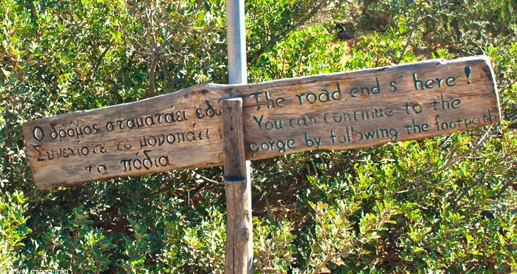
Hohlakies is easy to walk through; it takes a little more than one hour from start to end. The path from the starting point to the gorge runs the first few hundred metres in an olive grove; it is a nice place to start and end hiking. High rocks ahead show where the gorge is and the whole path is quite well marked so one can’t get lost. Only in the olive grove it is possible to walk a while elsewhere than on the route that takes straight to the gorge.
…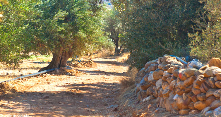
The path from parking place to the gorge goes through olive forest.
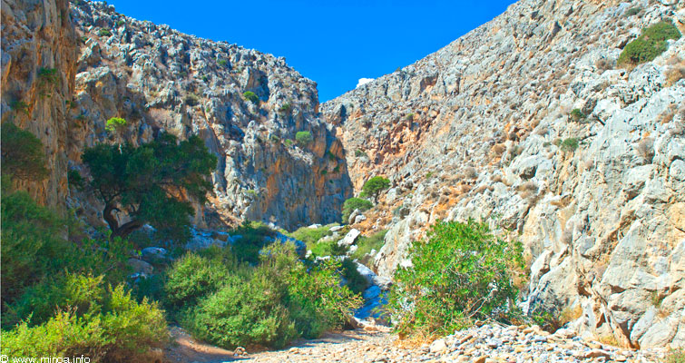
One needs only a normal physical condition to climb up and down a couple of metres high rocks. There are no challenging or dangerous places in the gorge but it is good to wear gloves when climbing over the stones. The Hohlakies gorge is quite wide, it has high rocky walls and it is exposed to strong winds.
…
…
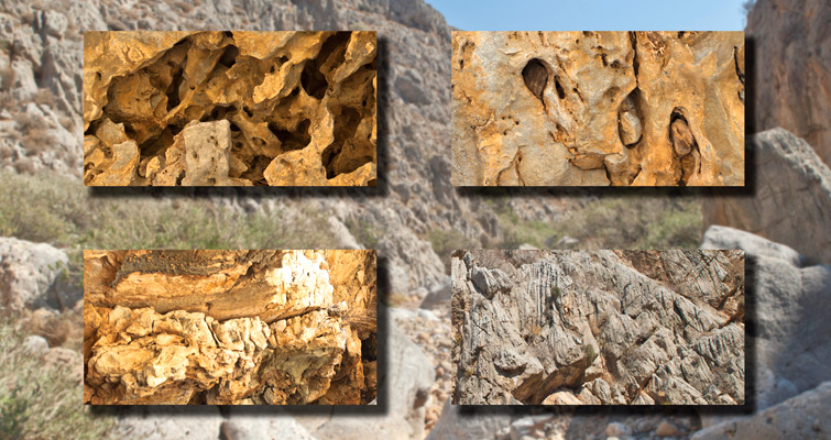
Hohlakies is a basic Cretan gorge where the most interesting details are found from the forms and holes in the rocky surfaces. Also old and lonely, weather-beaten olive trees look interesting and in some places the rocky surface is like Swiss cheese (photo below).
…
…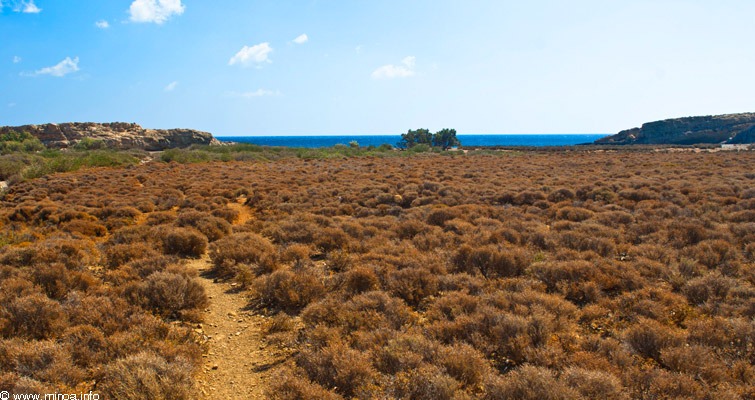
After a little more than one hours walk through the gorge the path ends to a wide, dry flat country that is bounded by the Karumbes bay that opens to the east.
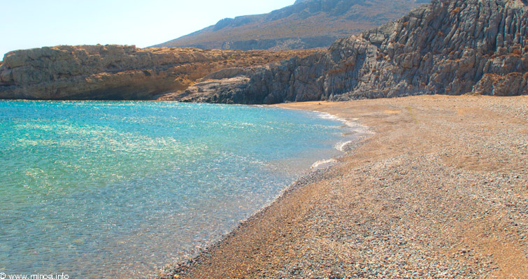
The beach that opens in the front is covered by the low thyme bushes and straight stalked grass tussocks and the left side of the beach is dominated by a mountain ledge that pushes into the sea. After a rocky and stony gorge the view seems to be the highlight of the hiking and the beach calls for swimming; many hikers accept the invitation and on the empty beach there is plenty of room for sunbathing in peace. From time to time the bushes smell strongly of the herbs although the autumn has arrived and the sun has burned almost everything brown.
…
….
In the middle of the beach area there is a large group of trees and in the shade of these trees there are good resting places for hikers. The beach is covered by sand and round stones and on both sides sheltered from the waves by the rocks, the water is clear, partly turquoise, and there is almost no rubbish on the beach, so it is a good place for swimming.
…
…
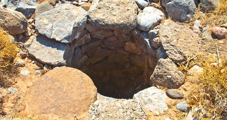
An interesting detail close to the beach is the ruins of an old place of residence; there are stony fences, a stony foundation and a well, made of stone. One half of a big earthenware pot is fastened upside down to a piece of concrete; maybe to collect some rain water?
Additional information:
Carry all the water needed with you.
Length of the gorge is 3,3 km
Walking time to the beach is 1-1,5 hours.
Descent from the parking place to the beach is about 100 metres.

